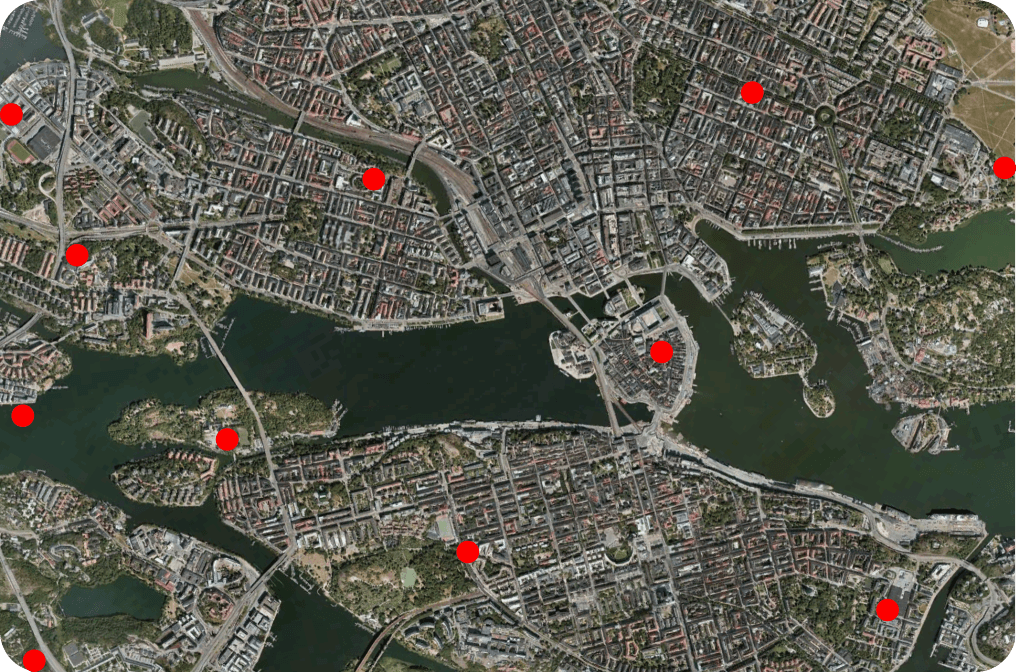
Add and remove coordinates
Effortlessly store and manage annotation coordinates
Seamlessly integrate map annotations by adding or removing coordinates directly into our database
Let our platform handle the heavy lifting, freeing you to focus on creating rich, interactive maps
Effortlessly store and manage annotation coordinates
Seamlessly integrate map annotations by adding or removing coordinates directly into our database
Let our platform handle the heavy lifting, freeing you to focus on creating rich, interactive maps

Lazy coordinate fetching in bounding box
Streamline application performance with lazy coordinate fetching
Selectively fetch coordinates within the current viewable area
Optimise resources and minimise latency by retrieving only relevant data
Ensure a responsive and efficient user experience
Streamline application performance with lazy coordinate fetching
Selectively fetch coordinates within the current viewable area
Optimise resources and minimise latency by retrieving only relevant data
Ensure a responsive and efficient user experience

Birds eye view
Elevate map experience with Dynamic Map Overlay feature
Receive PNG image overlay with all annotations when zooming out
Access birds-eye view to reduce clutter on main map interface
Maintain clarity while accessing vital annotation information
Elevate map experience with Dynamic Map Overlay feature
Receive PNG image overlay with all annotations when zooming out
Access birds-eye view to reduce clutter on main map interface
Maintain clarity while accessing vital annotation information

Colour coded coordinates
Assign specific colours to annotations for easy identification
Annotations appear with designated colours in birds-eye view overlay
Enhance visual clarity and organisation
Streamline navigation and data interpretation with powerful customisation tool
Assign specific colours to annotations for easy identification
Annotations appear with designated colours in birds-eye view overlay
Enhance visual clarity and organisation
Streamline navigation and data interpretation with powerful customisation tool
